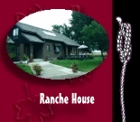


|
Map to Ranche

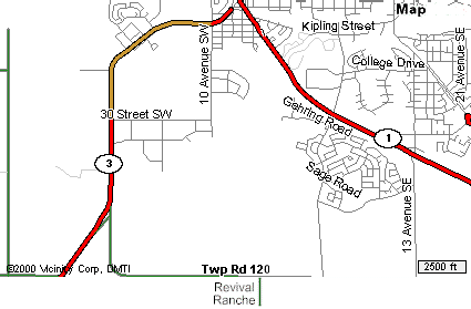
Exit the #1 Highway going south at Southridge Drive
(not
on map but,
just east of the tee pee at the overpass),
heading out of town to the stop sign on
Township Road 120 (6 km).
Then go west for 2.5 km. and south again for 3/4 km.
|
|

|
The Plains Indians would have a fireplace inside
the tepee.
The top, from which the poles protruded, was open
and often flapped down to serve as a chimney for
smoke from the fires. |
|